![]()
![]()
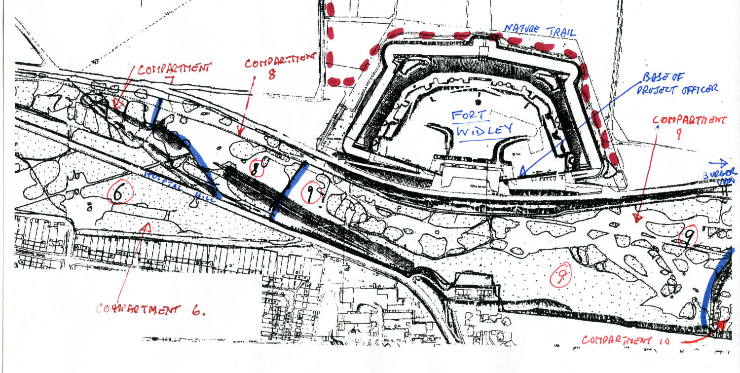
The maps below show the boundaries of the fenced areas of the SSSI. These are used to aid management particularly to facilitate grazing. The central map shows to location of the 'top field' added to the area managed in 2011.
Click on the thumbnails to see the full size map - they have been deliberately left quite large to make them useful.
![]()
![]()